
DCS Spatial Services’ Survey Plan Digitisation Project is digitising NSW Deposited Plans into LandXML format. There are more than 1 million plans being converted from TIFF/PDF into LandXML and each deposited plan image has on average 700 data fields to be captured. The digitisation process is undertaken externally, and all files are quality assured by Spatial Services.
LandXML provides a standard structure for survey plan information and once captured, can be accessed and re-used, reducing repeated manual data capture from plan images.
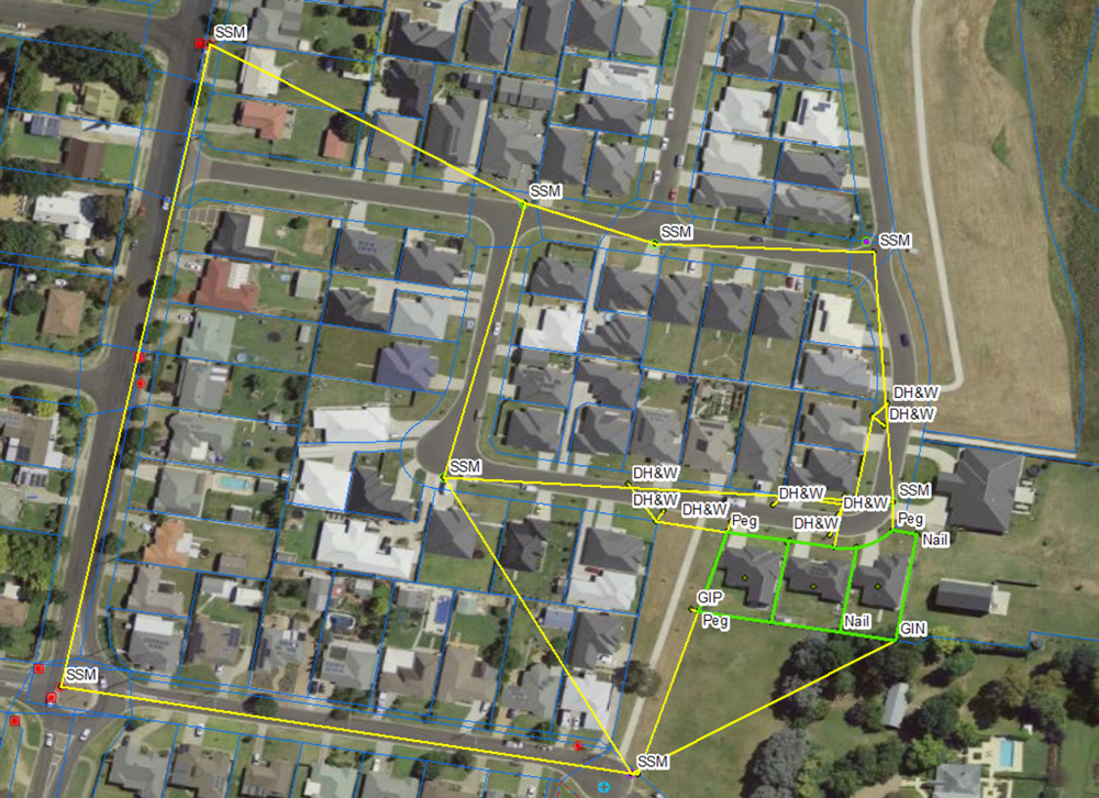
Use of digitised LandXML data
LandXML stores cadastral (property boundary) data in a defined structure which facilitates the automation of many processes. Categories of information captured include:
- Parcels including dimensions
- Road parcels
- Administration information
- Plan datum and datum terminal points
- Control marks and connections
- Reference marks and connections
- Boundary connection lines
- Unsurveyed irregular lines
- Offset information
- Capture notes where capture differs to the plan image (see Error Code information sheet).
Information not included in digitised LandXML:
- Some survey notations
- Occupations and structures
- Adjoining information only shown graphically on the plan
- Easements.
Quality assurance and disclaimer
All converted LandXML files are subject to automatic quality assurance checks as part of the digitisation process. Manual checks are also performed by DCS Spatial Services to assess data quality and business impacts.
Where errors on a plan image are identified, corrections are applied to make the LandXML data useable. Error codes (see Error Code information sheet) are inserted, along with attribute features, to identify the change. Errors can range from geometric miscloses (where a parcel boundary does not form a closed shape) to spelling mistakes.
While care is taken to ensure that LandXML data captured is of a high quality, the complex conversion process may result in some inaccuracies and uncertainties related to plan age and clarity. Users should take due care when using digitised LandXML data. TIFF/PDF plan images registered by NSW Land Registry Services (NSWLRS) remain the legal point of truth for cadastral information. Users of LandXML should always refer to the registered plan image for data verification.
How to access LandXML data
LandXML data is available at no additional cost through participating NSW Land Registry Services authorised Information Brokers with the purchase of the corresponding plan image.
A range of software packages support LandXML, these are listed on NSW Land Registry Services website.
Digitisation progress
The project is ongoing and will convert all new and historic NSW registered survey plans into LandXML.
By June 2023 more than 1 million plans were digitised into LandXML format. These plans define a massive 4.4 million land parcels.
LandXML data is used to upgrade the positional accuracy of the Digital Cadastral Database (DCDB) and support other initiatives, including the Cadastre of Known Accuracy Project and digital plan examination by NSW Land Registry Services.
Where can I find out more?
Read about Digital Plans on the NSW Land Registry Services website. For more information, reach out to us via our user-friendly Customer Hub.
Note: Not all Deposited Plans within Local Government Areas have a corresponding LandXML file. The Survey Plan Digitisation Project is reviewing captured LGAs to identify and capture missing plans and continues to develop new capture procedures for plans previously excluded from the project scope.