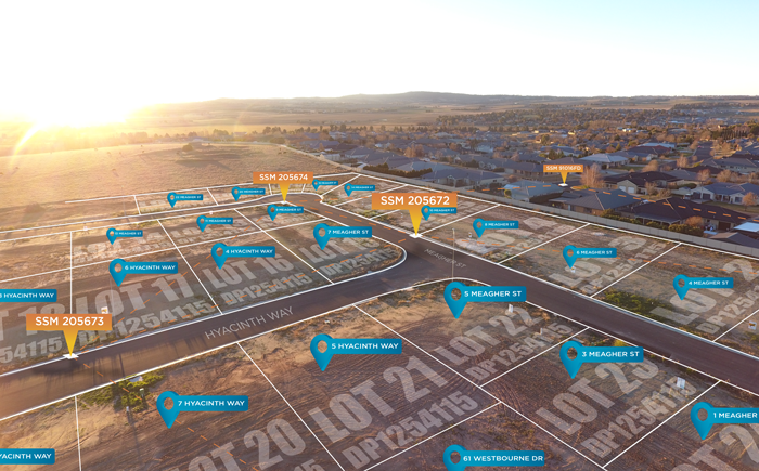
Cadastre NSW provides a subdivision and strata plan digitisation service that underpins near real-time mapping of property development across NSW. Cadastre NSW has been fully integrated with the NSW Planning Portal since 1 September 2022, enabling Local Government Authorities (LGAs), state government departments, state utility providers and private industry to securely view digitised plans.
Upon submission of a subdivision-related Development Application or Subdivision Certificate Application, PDF plans are automatically referred to Cadastre NSW for digitisation. Following capture, the digitised files are returned to the NSW Planning Portal and appended to the relevant application. Where plans are able to be digitised, files will become available within two business days of the application being submitted. This service is free of charge.
After digitisation, applicants, certifying authorities and referral authorities are able to securely access data files to help visualise, review and assess applications:
| File format |
Typical use cases |
|
| Torrens Title subdivision |
LandXML http://landxml.org/ |
Data validation by Registered Land Surveyors prior to lodgement for registration with NSW Land Registry Services. See https://www.nswlrs.com.au/Digital-Plans/LandXML Ingestion into land surveying calculation and drafting software. See https://www.nswlrs.com.au/Digital-Plans/Software-Package-Contacts Visualisation in Geographic Information Systems |
| Strata Title subdivision |
GeoPackage https://www.geopackage.org/ |
Visualisation in Geographic Information Systems |
DCS Spatial Services aggregates data from these digitised files to generate a state-wide proposed lot layer. Many NSW councils already access this service via a dedicated data feed that covers their Local Government Area. This process allows a geographic visualisation of the progress of land subdivision and strata scheme developments across NSW. Furthermore, it helps government agencies and service providers prepare for the introduction of services to new properties.
Summary of Cadastre NSW digitisation service:
- Free capture and conversion service of pre-registered Development Application and Subdivision Certificate Application PDF plans into LandXML (Torrens Title) or GeoPackage (Strata Title)
- Improved efficiency in capturing property data for new subdivision and strata scheme developments
- Earlier visibility for government agencies and service providers to support new properties and developments
- Data validation of digitised data allows for quality checks to be performed by registered land surveyors prior to lodgement for registration with NSW Land Registry Services.
For any enquiries related to Cadastre NSW, email: CadastreNSW@customerservice.nsw.gov.au

