
A gravity model of NSW will provide critical geoscience information to improve outcomes for state infrastructure projects and the management of natural hazards and resources.
Overview of the project
Gravity is not uniform and varies with the distribution of the mass materials below ground. The Live NSW Gravity Model project accurately measures the Earth’s gravity field to capture high-quality, high-density gravity data.
The project is funded through the Digital Restart Fund as part of the Live NSW program.
Benefits of the Live NSW Gravity Model
Benefits for the Live NSW Gravity Model project reach far beyond government. It will enable easy and accurate height measurement to create more accurate and efficient modelling of the terrain and water flow, leading to better land management and use decision making.
Having a highly accurate gravity dataset will also positively impact and improve:
- Exploration and management of groundwater stores
- Bushfire and natural disaster recovery efforts
- Large infrastructure projects
- Property, construction, agriculture, mining & surveying
- Flood mapping
- Future resource investment opportunities, potentially aiding regional jobs and economic growth across NSW
- Expand discoverability of high value minerals i.e. gold and copper
- Reduce risks associated with new mine sites located in unexplored or undeveloped areas
This model will form one of the critical building blocks for an accurate and reliable foundation upon which current and future 3D and 4D digital twins can be built.
Capturing the gravity data
The Live NSW Gravity Model covers the entirety of NSW and ACT with a geographic extent of over 800,000 km² and will deliver a new level of gravity measurement coverage and accuracy.
The previous, outdated dataset had distinct limitations, and included a combination of land-based, satellite and airborne gravity data collected over several decades. Many of these datasets predate GNSS positioning (pre-1992) and are of low spatial accuracy.
The gravity measured for the updated model is constant, meaning that it can be measured once and utilised forever, ensuring the model is future proof for years to come.
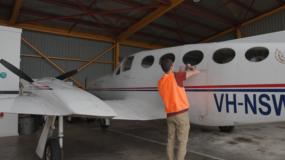
The Live NSW Gravity Model was captured in two stages beginning in 2022. An aircraft equipped with an airborne gravity sensor flew in lines of 2+km spacings across NSW, measuring extremely small variations in the Earth’s natural gravitational pull.
The gravity measuring instruments are passive and did not emit any signals, or impact people, animals, or infrastructure. All flying was above the required height of 300 metres in populous areas, and 160 metres in all other areas, in accordance with Civil Aviation Safety Authority guidelines which are outlined here: Part 137 of CASR Aerial application operations | Civil Aviation Safety Authority (casa.gov.au).
Data availability
The raw gravity datasets are currently available through:
- Spatial Collaboration Portal
- MinView - Geological Survey of NSW’s (GSNSW) online mineral viewer
The final products are scheduled for release May 2024.
The data will also be included in the National Geoscience Database and the GADDS (Geophysical Archive Data Delivery System) data portals managed by Geoscience Australia (GA) for use in mineral resource exploration and ground water studies, in line with FAIR (findable, accessible, interoperable and reusable) principals.