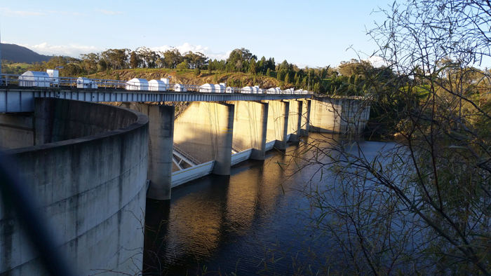
Spatial Services collects, stores, maintains and produces water spatial products based on surface hydrology features including lakes, rivers, streams, creeks, the coastline and drainage patterns.
These spatial data layers are continuously updated through a program of external data integration from custodial and other sources as well as through a regular cycle of updating using imagery and elevation data.
Hydrography spatial data is available via the Topographic Map web service.