DCS Spatial Services captures and creates imagery products across NSW. Aerial imagery is collected using aircraft fitted with an imagery sensor to a defined specification.
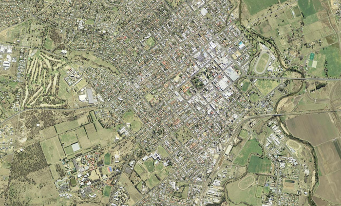
Standard aerial imagery is captured at 50 cm Ground Sample Distance (GSD) resolution for 1:100,000 topographic map sheets and 10 cm GSD resolution for urban areas with a population over 500 people.
The most recent aerial and satellite imagery held is accessible using web services available from the Spatial Collaboration Portal and can be viewed online in SIX Maps. DCS Spatial Services has an extensive historical imagery catalogue for NSW and is pleased to allow free view and download using the Historical Imagery Viewer.
For areas across NSW which have a very high population base (eg. Sydney, Newcastle and Wollongong), DCS Spatial Services may acquire high resolution imagery using private sector suppliers to agreed capture specifications. DCS Spatial Services will acquire satellite imagery at times, with 2019 and 2020 imagery publicly viewable via the Spatial Collaboration Portal, however we do not hold or provide access to members of the public to current satellite imagery.