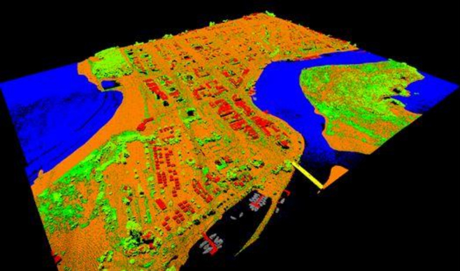
Spatial Services plans, captures and creates elevation products across NSW. Data is captured using an aircraft and a LiDAR (light detection and ranging) sensor to a defined specification. In conjunction with this we have produced a multi-resolution state-wide elevation dataset. LiDAR point cloud data is captured at various densities over specific project extents and contributes to the elevation dataset.
Spatial Services contributes elevation data to the national portal, Elevation and Depth – Foundation Spatial Data (ELVIS) which can be freely downloaded.
This data is especially useful to organisations involved in planning and managing land use and the natural environment, ensuring a more sustainable future for the people of NSW.