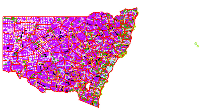
The Digital Cadastral Database (DCDB) contains administrative layers for the following:
|
|
|
Cadastral Spatial Programs is a joint custodian of these layers, we maintain and update them to enable spatial queries. It is important to note most of these layers are described by legislation, updates can only come from new legislative changes, notifications described by the NSW Government Gazette or more recently by changes described in the register of public surveys. Spatial Services tracks temporal and spatial changes to these layers through an authority reference layer.