Customer Hub
Submit an enquiry, request data or provide feedback
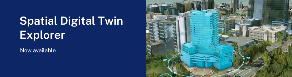
Spatial Digital Twin (SDT) Explorer
Explore and visualise 2D, 3D and 4D spatial data
NSW Spatial Collaboration Portal
Search, find, discover, share spatial information
News
Check out the latest Spatial Services news
Surveyor-General's Directions
Access resources and tools
CORSnet-NSW
Access CORSnet-NSW information
Foundation Spatial Data Framework
Learn more about the FSDF
Web Services
Connect to web services here
Service Status
Service performance and availability status