
DCS Spatial Services is preparing to retire the Spatial Information Exchange platform, SIX Maps in May 2025.
This transition aligns with the launch of the innovative Spatial Digital Twin (SDT) Explorer platform. This change represents a major leap forward in how DCS Spatial Services provides cutting-edge spatial visualisation technology to its customers.
What is SDT Explorer?
The NSW Spatial Digital Twin (SDT) Explorer is a free spatial visualisation platform designed to provide quick and efficient tools for visualising, validating, and interacting with spatial data.
SDT Explorer integrates features from both SIX Maps and the NSW Digital Twin Visualisation Service, offering new tools and capabilities. With a user-friendly interface and enough functionality to support workflows, it empowers users to explore spatial data, validate findings, and communicate insights more effectively.
What is happening in May 2025?
- Official launch of SDT Explorer
- Decommissioning of SIX Maps
- Retirement of NSW Digital Twin Visualisation Service.
What’s changing
- The SDT Explorer will replace SIX Maps
- SDT Explorer offers new features including:
- Enhanced 3D environment – including new 3D features like line of sight and shadow analysis
- Improved user experience and search functionalities
- New data layers and improved data management and export options
- Advanced tools such as a comparative slider, identify tool, enhanced measurement tools, and more.
What’s not changing
- Most functionalities from SIX Maps and the NSW Digital Twin Visualisation Service will still be available through SDT Explorer.
- Services such as SCIMS Online and Clip & Ship will continue to function, now accessible via the Spatial Collaboration Portal.
Benefits of Explorer
On top of the new and enhanced features that are available in the SDT Explorer platform, it also offers an interface with easy-to-use functionality.
- User-friendly interface designed for ease of use.
- Empowering tools for exploring spatial data and communicating insights effectively.
- Comprehensive user guides to assist with your transition.
- Accessible across multiple platforms via the DCS Spatial Services website home page banner and the Spatial Collaboration Portal Map Viewers, making it easier than ever to explore spatial data and unlock insights.
Don’t miss your chance to be part of this evolution in the way we deliver spatial data. Access the SDT Explorer now and save it in your favourites.
If you have any questions or concerns, contact us via the Customer Hub.
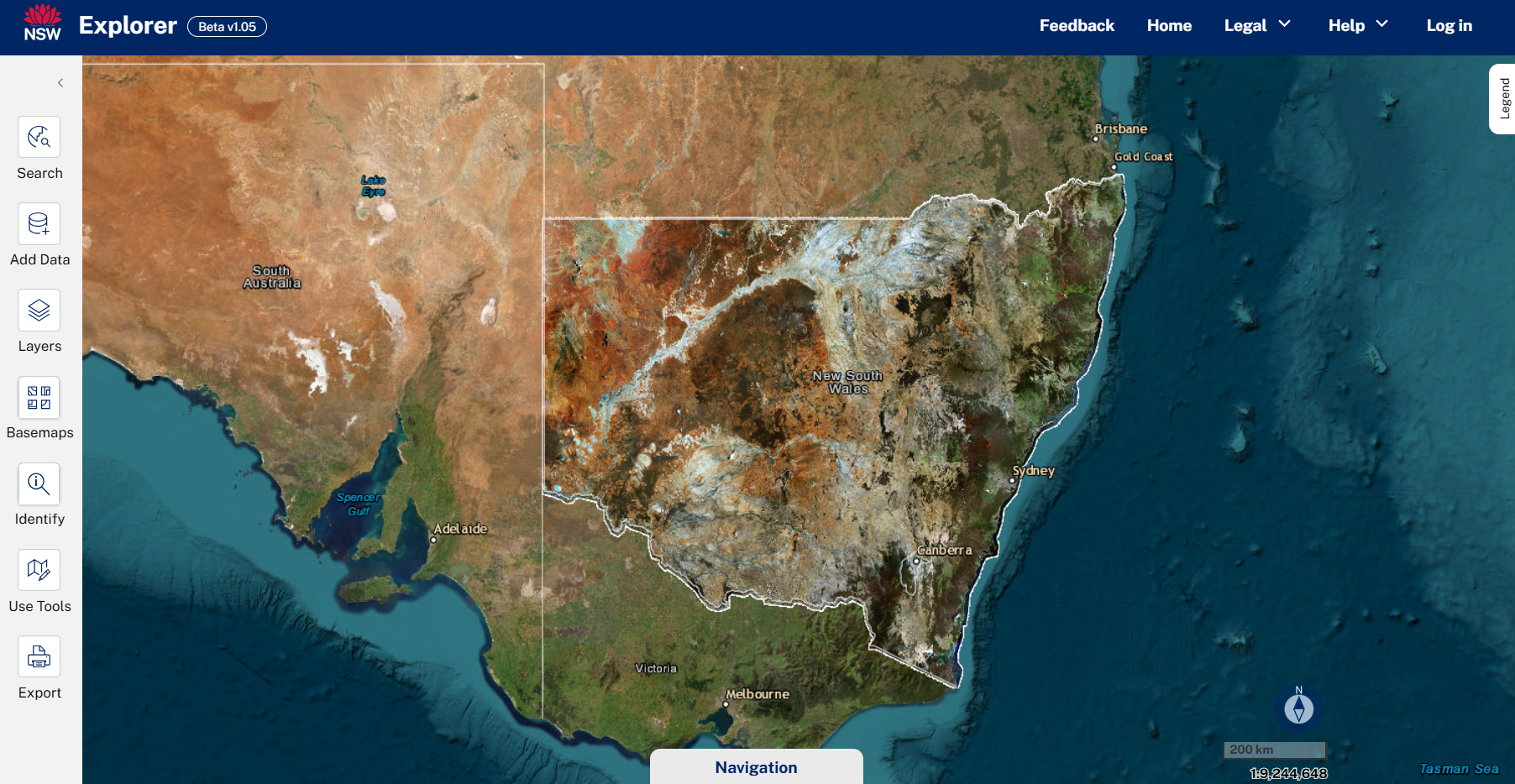
Image: Click on the image above to access the SDT Explorer.