
August 2020
Land surveyors in NSW are set to benefit from access to digital survey plans captured through an innovative Australian first DCS Spatial Services project.
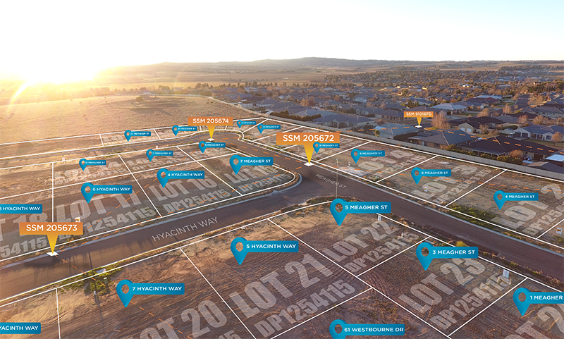
Over half a million digital survey plans are now readily accessible to the market so users can easily download digital data and benefit from this more efficient, faster and more accurate process.
The new service is made possible by the innovative Survey Plan Digitisation Project run by DCS Spatial Services in Bathurst. It is part of a broader reform to transition from paper to smart digital plans in NSW. The ‘back-capture’ project is the first of its kind in Australia and has laid the path for similar initiatives by the Victorian and Queensland governments.
“NSW Land Registry Services has partnered with the DCS Spatial Services to further support this reform by establishing a digital distribution channel, in LandXML format, via their Information Broker network,” Bruce Thompson, Executive Director Spatial Services said.
“The change from paper to digital survey plans is a critical step for NSW and we must ensure benefits are realised for industry.”
Spatial Services has been able to ensure that this gain for industry has occurred as quickly as it has by partnering with NSW Land and Registry Services to achieve this common aim. Spatial Services is committed to serving the customer through partnership with other organisations and government agencies.
“There is enormous opportunity to gain efficiencies in the approvals process, and surveyors are ideally placed to guide the property industry through this digital transition in order to realise those benefits.”
The Survey Plan Digitisation Project has already covered over half the Local Government Areas in NSW and is aiming for completion in mid-2022.
To find out more about accessing digital survey plans, contact your preferred information broker or visit the NSW Land Registry Services website.