- Download and install QGIS.
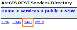
- Retrieve the WMS URL for the service you want to use from it's REST endpoint.
e.g. Visit NSW Imagery REST Endpoint
Look for the WMS link towards the top left of the page. Right click + copy link address, or left click the link to open the link and copy the URL from the address bar.
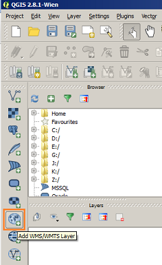
- In QGIS, click the "Add WMS/WMTS Layer" button in the 'Layers' toolbar.
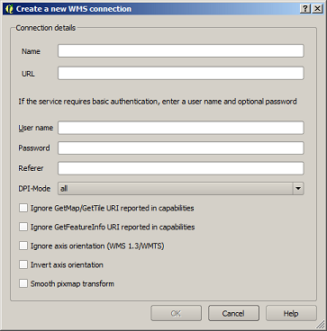
- From the dialog select the 'New' button.
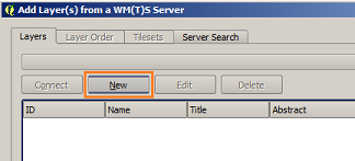
- Enter a name for the connection and the service's WMS URL, then click 'OK'.
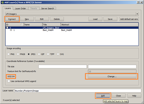
- Click the 'Connect' button, to fetch the details of the WMS service. Click to highlight the layer you want to add, then check the Coordinate system listen in the bottom pane.
Click the 'Change' button, and select 'EPSG:3857' from the dialog. Hit OK, then click the 'Add' button at the bottom of the 'Add Layer' dialog.
This will add it to your map. You can now close the 'Add Layer' dialog.
Resources
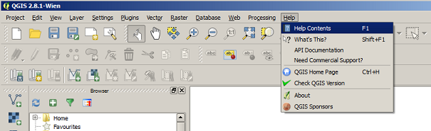
For assistance using QGIS, visit the Help Contents in the Help menu on the toolbar, or press the F1 key.