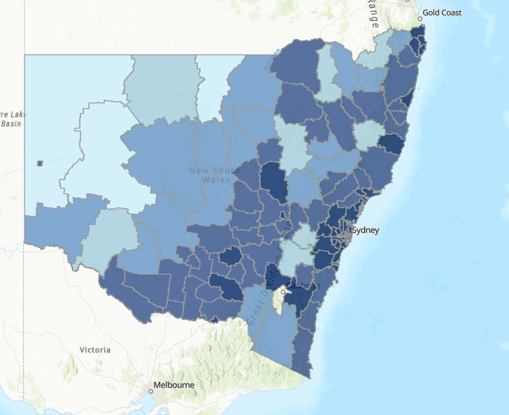
To reduce costs, risks and issues associated with location-based reporting across NSW Government, DCS Spatial Services has partnered with the non-for-profit organisation FrontierSI. The project will assess and recommend the best approach to achieve a more consistent and high-quality solution for location-based reports across NSW and potentially at a national level.
In NSW, location-based reports are widely used by Government agencies to compile issues and trends on maps, which calculate the frequency of observations or transactions by defined regions. For example, displaying the number of a particular type of customer request received by a Government Agency by Local Government Area.
Problems arise when information is required from multiple sources to make informed decisions about a location within NSW. In these situations, agencies may map their transactions to a defined region which best matches their business function, but this does not necessarily integrate with other agencies’ spatial data.
DCS Spatial Services has partnered with FrontierSI to investigate a whole-of-government location-based reporting approach that utilises current technology such as NSW Point and Service Point. Coupled with a data matching framework based on the Australian Statistical Geography Standard. This would provide agencies with the capability to map their data to a broad range of defined regions.
This project will act as a steppingstone for wider implementation by developing a proof-of-concept solution to better demonstrate the approach and capabilities. It will also develop an implementation plan to determine how best to provide NSW government spatial practitioners with the tools and guidance they need to make consistent location-based reports suited to the needs of decision makers.
The vision for this framework was based on recommendations from the NSW Data Leadership Group’s Spatial Data Working Group, who identified and investigated more than 90 regional datasets in use by NSW Government agencies to improve the location-based reporting across the State. These included spatial datasets such as Local Health Districts, State Emergency Service Divisions and Rural Fire Service Districts.
Learn more about Frontier SI here.

