
Federal and State Governments rely heavily on the determination of electoral boundaries to ensure fairness and appropriate representation in our political system. DCS Spatial Services supported the NSW Electoral Commission as part of the recent election by mapping adjustments to boundaries for each State Electoral District (SED). This formal process is called a redistribution and must take place after every second NSW State general election.
The Surveyor-General of NSW is one of three members on the Electoral Redistribution Panel alongside a judge and the Electoral Commissioner, who are responsible for determining SED boundaries. Changes to electoral boundaries ensure the number of electors within each district remains approximately the same over time.
The most recent NSW State Election saw the enactment of new SEDs, which were determined by the 2021 electoral redistribution and completed a DCS Spatial Services’ project which had been running since 2020. This project saw DCS Spatial Services prepare three maps for each electoral district in NSW, at different levels of detail to support the consultation processes used by the NSW Electoral Commission.
These maps were also used in the formalisation process, where plans lodged in the NSW Register of Public Surveys were referenced in official gazette notices and proclamations. The resulting gazetted boundaries were then aligned to the State’s land parcel fabric, first through the development of a Proposed State Electoral District layer in the Digital Cadastral Database, followed by 219 data alignment editing tasks.
These edits, in consultation with the NSW Electoral Commission, ensured the new boundaries were coincident with the intended underlying cadastral and topographic features. A new automated layer alignment capability was also developed to avoid the need for any secondary manual edits.
Web services and viewers were developed by DCS Spatial Services so these boundaries could be viewed and used by key government stakeholders. Once the Districts were formalised, high-quality hardcover books showing all the official SEDs, as defined by the 2021 redistribution, were developed and given to every sitting Member of Parliament.
Check out the updated State Electoral Districts in the NSW Electoral Districts Map Viewer and learn more about this dataset in the Spatial Collaboration Portal.
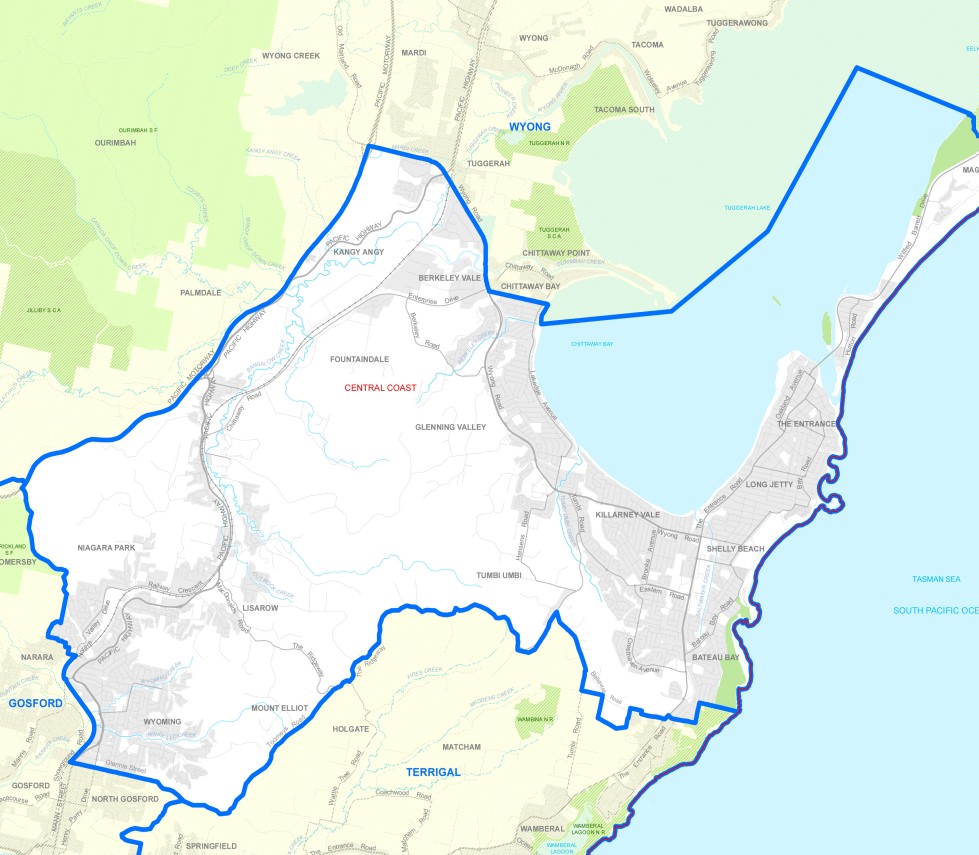
Photo: State Electoral District redistribution of The Entrance.